⌯ Light Pollution ⌯

How dark are the skies at Big Bend Remote Observatories?

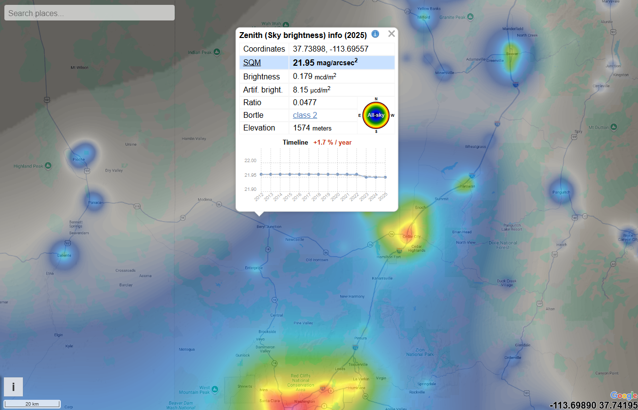
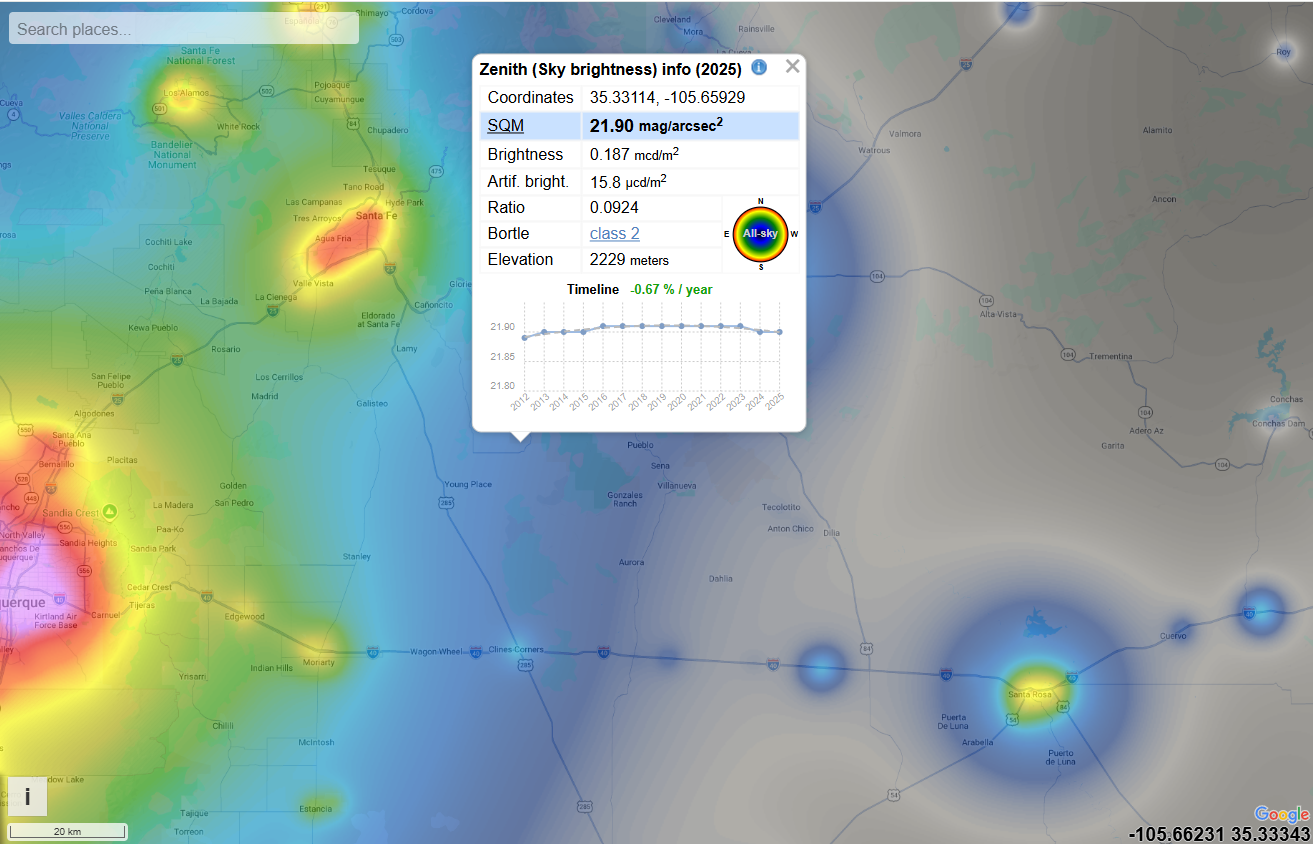
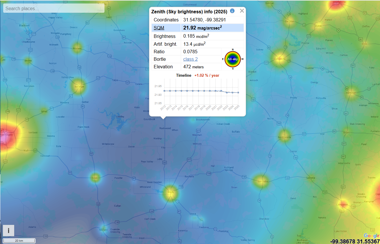
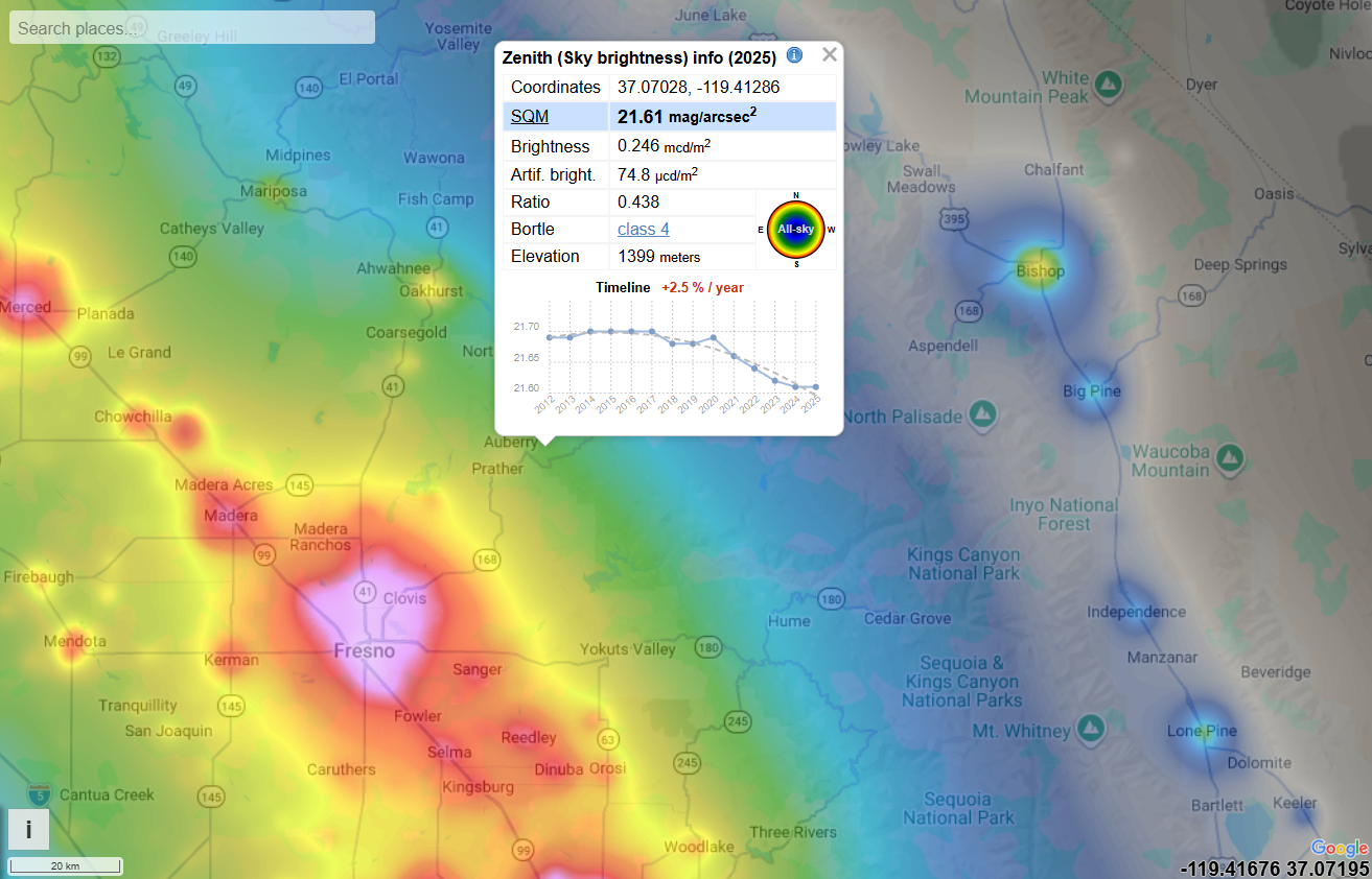
The creating of our observatory was inspired by the exceptionally dark skies out here. The maps below compare light pollution at our location to several well known observatory sites across the United States using the same scale and zoom level - the first map shows BBRO.

Our observatory is located within the Greater Big Bend International Dark Sky Reserve - the largest certified Dark Sky Place in the world. The surrounding communities have made a long term commitment to protecting these skies by reducing artifical light which helps preserve our outstanding observing conditions for years to come.
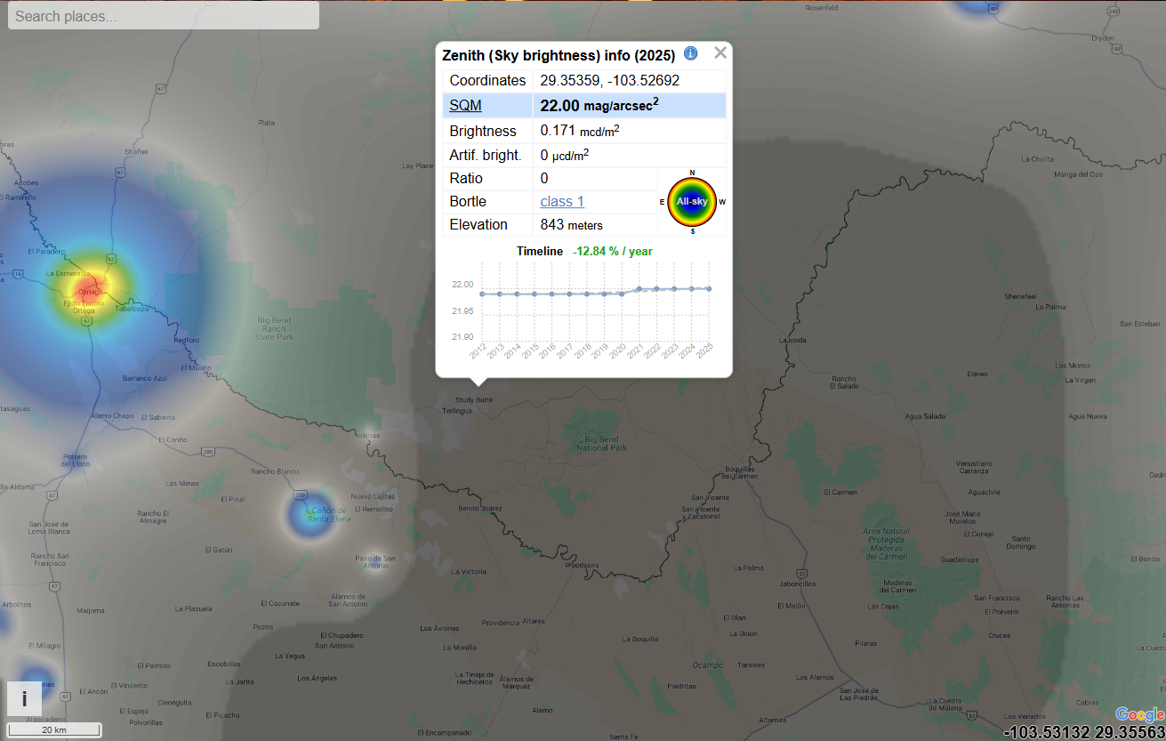
Map showing sky brightness data for coordinates 29.35359, -103.52692 with SQM 22.00 mag/arcsec² in 2025.
Heatmap of light pollution with a pop-up showing sky brightness data and a timeline graph.
Map with sky brightness data showing coordinates, SQM, brightness, ratio, Bortle class, elevation, and a timeline graph.
Night sky brightness map showing coordinates near Alamogordo with brightness info and timeline chart.
Heatmap over Death Valley and Las Vegas showing sky brightness data and a detailed info box for one location.
Heatmap showing sky brightness levels over a map area with an info box of zenith sky brightness data for 2025.
Heat map of sky brightness with data panel showing coordinates, SQM, brightness, and elevation metrics.
Map with sky brightness heat map highlighting coordinates 31.90749, -109.02000 with detailed info panel.